
From 22,000 Miles Up, This Satellite Tracks Airborne Health Threats Almost in Real Time
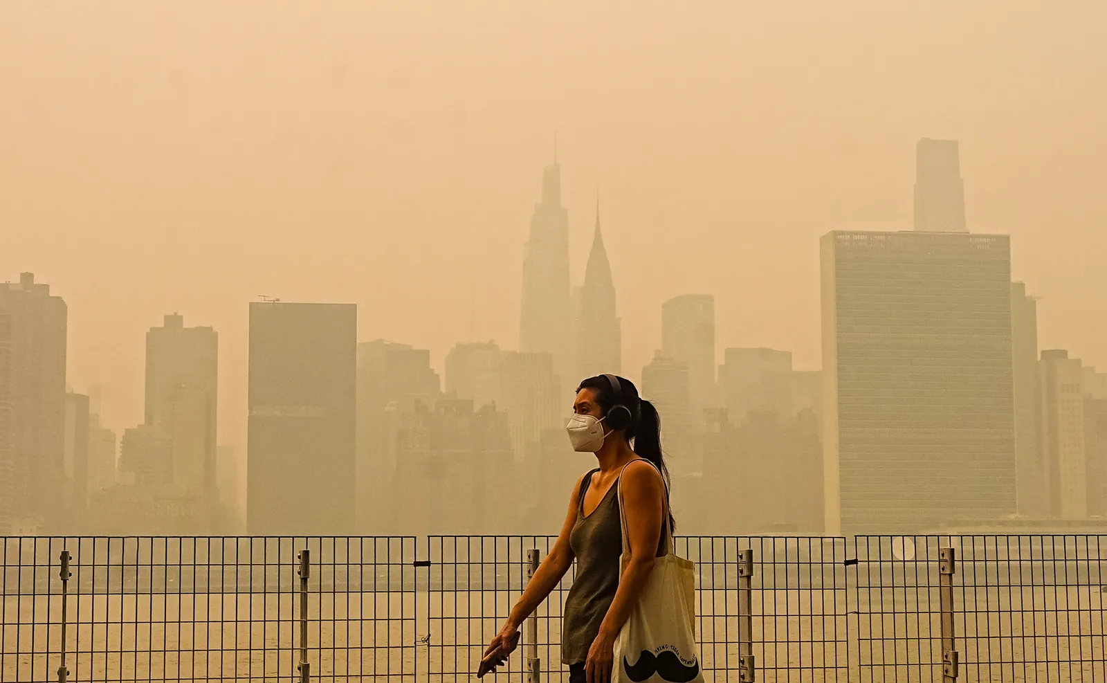
TEMPO is giving North American air-quality observers a new kind of view: an hourly look at pollution as it changes through the daylight hours. The instrument, positioned far above the equator, is designed to show the movement and evolution of substances in the atmosphere rather than leaving researchers with a single fixed image of a day. For people concerned with health risks carried through the air, that faster rhythm can turn a broad warning into a more timely picture of conditions. It is a new tool for following a rapidly changing public-health concern.
The name TEMPO stands for Tropospheric Emissions: Monitoring of Pollution. It is a NASA and Smithsonian Astrophysical Observatory project, operating from roughly 22,000 miles above the equator. From that orbital position, it watches the daytime atmosphere across North America. Its observations include gases and particles associated with air-quality episodes, recording where pollutants appear, how they travel and when they begin to fade.
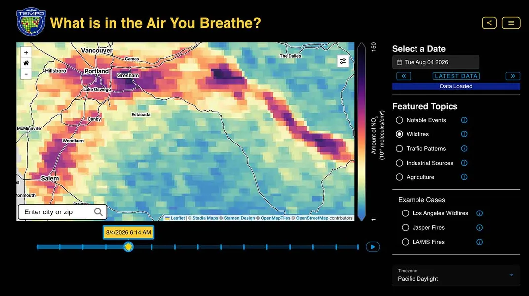
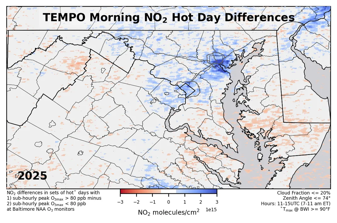
The system has been supplying these near-real-time hourly observations since September 2025. That schedule distinguishes it from earlier satellites used for pollution monitoring, which commonly provided only one or two looks at air quality during a day. The difference is not merely a larger collection of images. A sequence of readings can show a changing situation, including the shifts in pollution that occur between a morning reading and an afternoon one.
That matters because airborne pollution is not motionless. Its concentration and location can change from hour to hour and from one day to the next, said Laura Judd, a research scientist at NASA's Langley Research Center in Hampton, Virginia. She describes the changing atmospheric picture as “chemical weather,” a phrase that emphasizes that pollution has a time-sensitive pattern as well as a geographic one.
For public-health researchers, the hourly record offers a way to examine air-quality threats while they are still unfolding in the daytime sky. It can help connect a developing pollution pattern with questions about where potential exposure may be changing. Government officials responsible for air-quality response can also use a continent-wide view to follow conditions that do not respect a city, county or state boundary.
The importance of TEMPO lies partly in the kinds of pollution events that are hardest to treat as predictable or controllable. When gases and particles are originating in one place, drifting elsewhere and weakening over time, a once-daily satellite pass can miss much of the sequence. Repeated readings do not make those events easier to control, but they give researchers and regulators more information for understanding what is occurring and for shaping a response.
The project also changes the scale at which that information can be considered. A local air-quality crisis can be examined within the broader North American atmosphere, where movement across long distances may be part of the story. At the same time, the instrument's value is tied to what it actually observes: daytime conditions at hourly intervals. It is not a continuous, minute-by-minute account of every location or every hour of the full day.
That limitation is also a useful reminder about the role of satellite data. TEMPO offers an evolving overview from space, not a promise that pollution will behave in a simple or uniform way. The same hourly changes that make the data valuable can complicate conclusions, especially when a pollution pattern is moving, growing or dispersing. Its contribution is to make those changes visible on a regular schedule across a large area.
The next question is how consistently that new perspective will be folded into research and public decisions. TEMPO has already created an ongoing daytime record that is much more frequent than the earlier one- or two-image approach. As that record grows, attention will focus on whether its chemical-weather view helps officials and health researchers recognize changing airborne risks sooner and respond with a clearer understanding of their path through the atmosphere.
Source: Smithsonian Magazine
Related articles
Immerse Yourself in the Cosmos at Frank Lloyd Wright's Only Planetarium, Recently Restored to Its Former Glory in Florida
Completed in 1958, the domed building is located on the campus of Florida Southern College, home to 13 Wright-designed buildings, the world's largest single-site collection of the architect's work

Play Tractor online with friends — free
Real-time Sheng Ji / Tractor for 3–5 players, with complete bidding and trump rules across web, iOS and Android.
Play bidfive →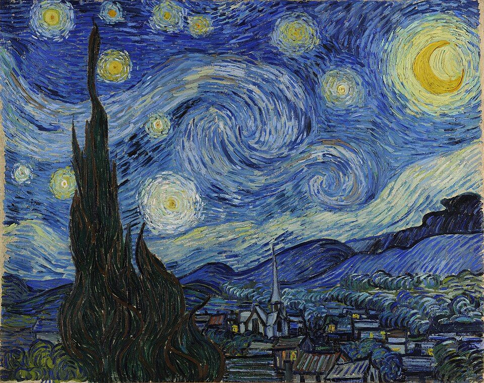
A Team of Astronomers Thinks They Have Identified the Exact Night Sky That Inspired Vincent van Gogh's 'Starry Night.' Not Everyone Is Convinced
Very few night skies seen from the south of France during the summer of 1889 would match the scene on van Gogh's canvas. A new study argues that it could have been July 22

'Pretty Boy' Floyd, One of the Most Notorious Outlaws of the Great Depression, Was Shot and Killed in an FBI Raid 92 Years Ago
Some Americans lauded the 30-year-old bank robber as a Robin Hood-esque folk hero. Others castigated him as a violent criminal whose misdeeds were emblematic of the troubled era

GTA 6 guides, updates and practical reference
Explore a Chinese GTA 6 guide library covering the release, map, characters, missions, vehicles and weapons.
Browse guides →
Create AI images with your own API key
aixipi runs on desktop/web, uses your own model API balance, and avoids subscription lock-in.
Try aixipi →