
Hurricane Polo is a powerful Category 4 storm off Mexico. See its path.
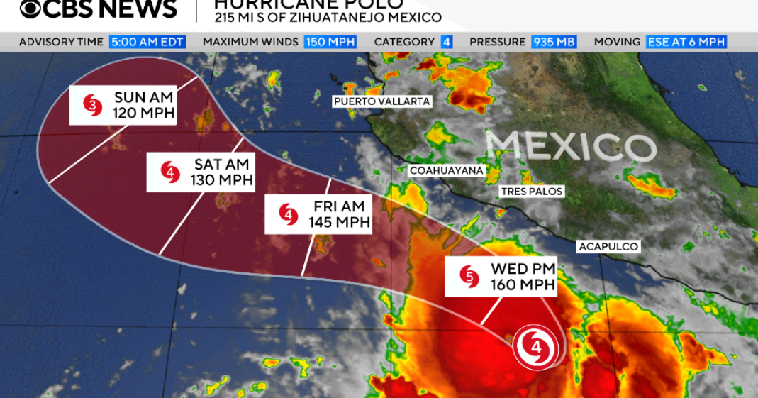
Hurricane Polo remained a formidable Category 4 cyclone in the eastern Pacific on Wednesday, moving offshore from southwestern Mexico after a burst of intensification that briefly placed it at the top of the hurricane scale. The system was not forecast to strike the Mexican coast directly in the coming days. Instead, projections indicated that Polo would pass near the Pacific shoreline while continuing along its track over open water, leaving forecasters focused on its strength and its distance from land.
The storm’s most dramatic change came a day earlier. Polo accelerated from an already dangerous tropical cyclone into a Category 5 hurricane on Tuesday, with sustained winds reaching 180 mph. That level is well beyond the 157-mph benchmark used for the highest category on the Saffir-Simpson Hurricane Wind Scale. By Wednesday afternoon, the U.S. National Hurricane Center reported a reduction in maximum sustained winds to 145 mph, placing Polo back in Category 4 territory.
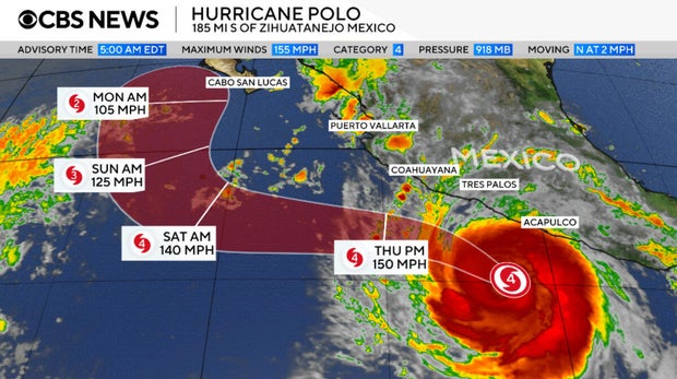
That downgrade does not make the hurricane a minor threat. A Category 4 designation still describes a major hurricane with exceptionally destructive wind potential if its core approaches populated areas. Polo’s 145-mph winds also show how much power it retained after its peak. The difference between its Tuesday maximum and Wednesday assessment is important for tracking the storm’s evolution, but it does not erase the hazards associated with a powerful system traveling near a coastline.
Rapid intensification is the key development in Polo’s recent history. The term is used when a tropical cyclone’s winds rise sharply in a short period, a pattern that can narrow the time available for coastal communities and maritime interests to assess changing conditions. In Polo’s case, the increase carried the storm past the Category 5 threshold before winds eased. The sequence underscores why forecasts are updated frequently as a hurricane’s internal structure and surrounding environment change.
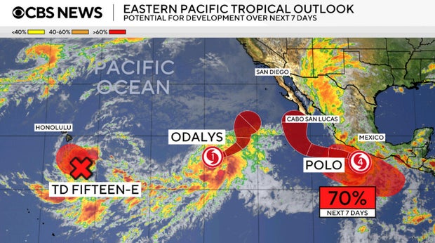
Officials and residents along Mexico’s southwestern Pacific coast therefore face a more nuanced outlook than a straightforward landfall forecast. Current expectations called for the center to remain offshore and to skirt the coast rather than cross it. Even so, a nearby major hurricane can matter to coastal areas because its precise route, size and intensity can influence conditions near land. The available forecast does not describe a direct strike, but it does place a very strong storm in the region.
Forecasters cautioned that Polo’s intensity could rise and fall again over the next several days. Such fluctuations are not unusual in major hurricanes, and they mean the current Category 4 reading should be treated as a snapshot rather than a final outcome. The National Hurricane Center’s outlook was that Polo would continue as a highly powerful major hurricane, even if its winds change from one forecast update to another.
For the wider region, the principal question is whether the storm’s offshore path holds. A track that stays over the Pacific would reduce the likelihood of a landfall, but it would not remove the need to monitor official forecasts. A comparatively small adjustment in direction can alter which stretches of coast are closest to a hurricane’s circulation. The difference between an offshore brush and a closer approach can be consequential, particularly while a storm remains capable of changing intensity.
There is also an important caveat in the contrast between Polo’s recent Category 5 peak and its present classification. The storm has weakened from its strongest point, yet the forecast does not suggest that it will quickly cease to be a major hurricane. The more useful measure for people following developments is not only the category displayed at a given moment, but the projected path, the timing of any closest approach and the official assessment of evolving risks.
Attention will now turn to successive National Hurricane Center advisories as Polo progresses alongside Mexico’s Pacific coast. Those updates will show whether the storm continues its offshore course, whether its winds recover or decline further, and whether its anticipated fluctuations alter the risk picture. For now, the central facts are clear: Polo intensified with extraordinary speed, briefly reached Category 5 force, and remained a very powerful Category 4 hurricane on Wednesday.
Source: CBS World
Related articles

Zelenskyy accuses Russia of using cluster warheads in deadly strikes
Russia launched the strikes on Ukraine less than a day after negotiations to end the war, which also involved the United States, ended in St. Petersburg.

Create AI images with your own API key
aixipi runs on desktop/web, uses your own model API balance, and avoids subscription lock-in.
Try aixipi →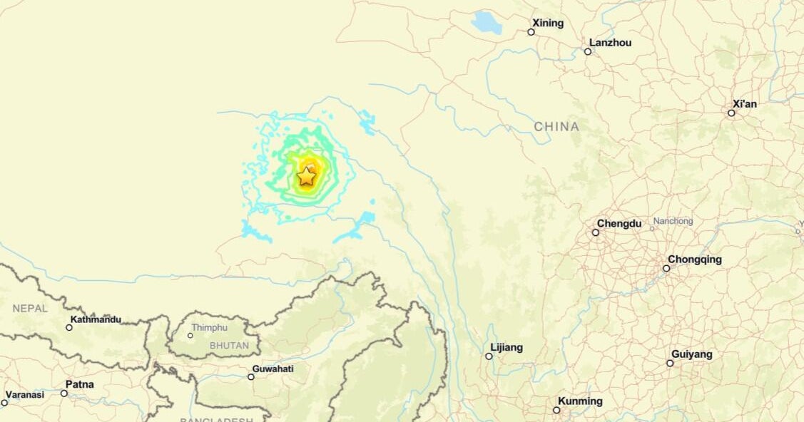
At least 16 dead when powerful 7.0 magnitude earthquake strikes Tibet
It was the biggest earthquake in the region in the last five years, China

See how Big Tech is transforming Spain's landscape
A drought-stricken region of northeast Spain has become a focus for American companies searching for locations to place their data centers.